
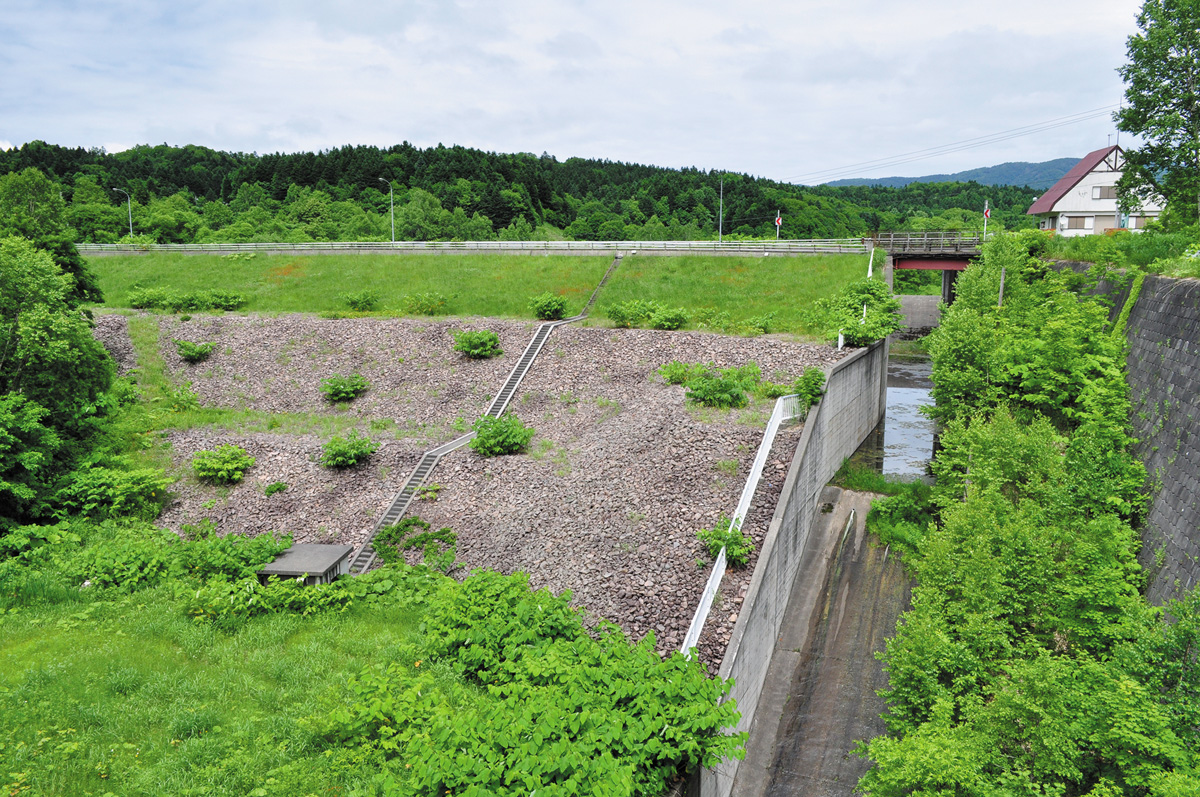
⑤Otodo Dam(Obira)
This dam is noteworthy because, although it is an earthen dam, the acute angle of the dam face is similar that of a gravity dam.
Address / Otodo, Obira
Type / Earth (Zone type)
River / Otodokko River
Reservoir / –
Year of Completion / 2003
Intended Use / Flood control, Farmland disaster prevention, Irrigation
Dam Height / 34.0m
Crest Length / 124.0m
Construction / Hokkaido Prefecture
Management / Obira Town
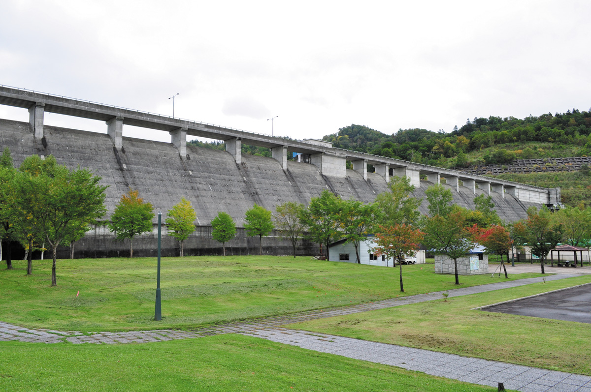
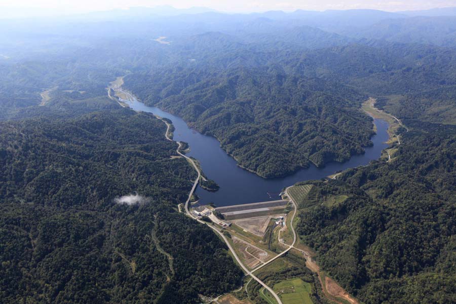
⑥Obira Dam(Obira)
A park stretches out at the base, making this a very accessible dam. The dam itself is noteworthy for its width.
*Scenic spot for autumn leaves
*The free PR cards which the bureau of dam management
Address / Takinoshita, Obira
Type / Concrete gravity
River / Obirashibe River
Reservoir / Lake Obirashibe
Year of Completion / 1992
Intended Use / Flood control, Farmland disaster prevention, Unspecified use, River management, Irrigation, water surpply/sewage
Dam Height / 42.4m
Crest Length / 475.0m
Management / Hokkaido Prefecture
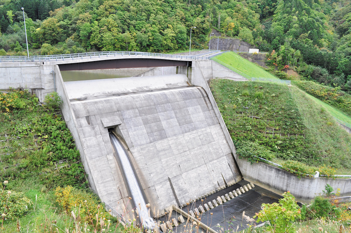
⑦Okinai Dam(Obira)
The area around this dam has a particularly high instance of brown bear reports so use extreme caution and avoid unexpected encounters! The spillway is uniquely shaped and looks a bit like a toilet stool. One can imagine a 40-meter giant sitting here to take care of “business”! This dam is a memorable one for reasons unlike any others.
Address / Okinai 244-3, Obira
Type / Earth (Zone type)
River / Okinai River
Reservoir / –
Year of Completion / 1995
Intended Use / Flood control, Farmland disaster prevention, Irrigation
Dam Height / 29.6m
Crest Length / 157.0m
Construction / Hokkaido Prefecture
Management / Obira
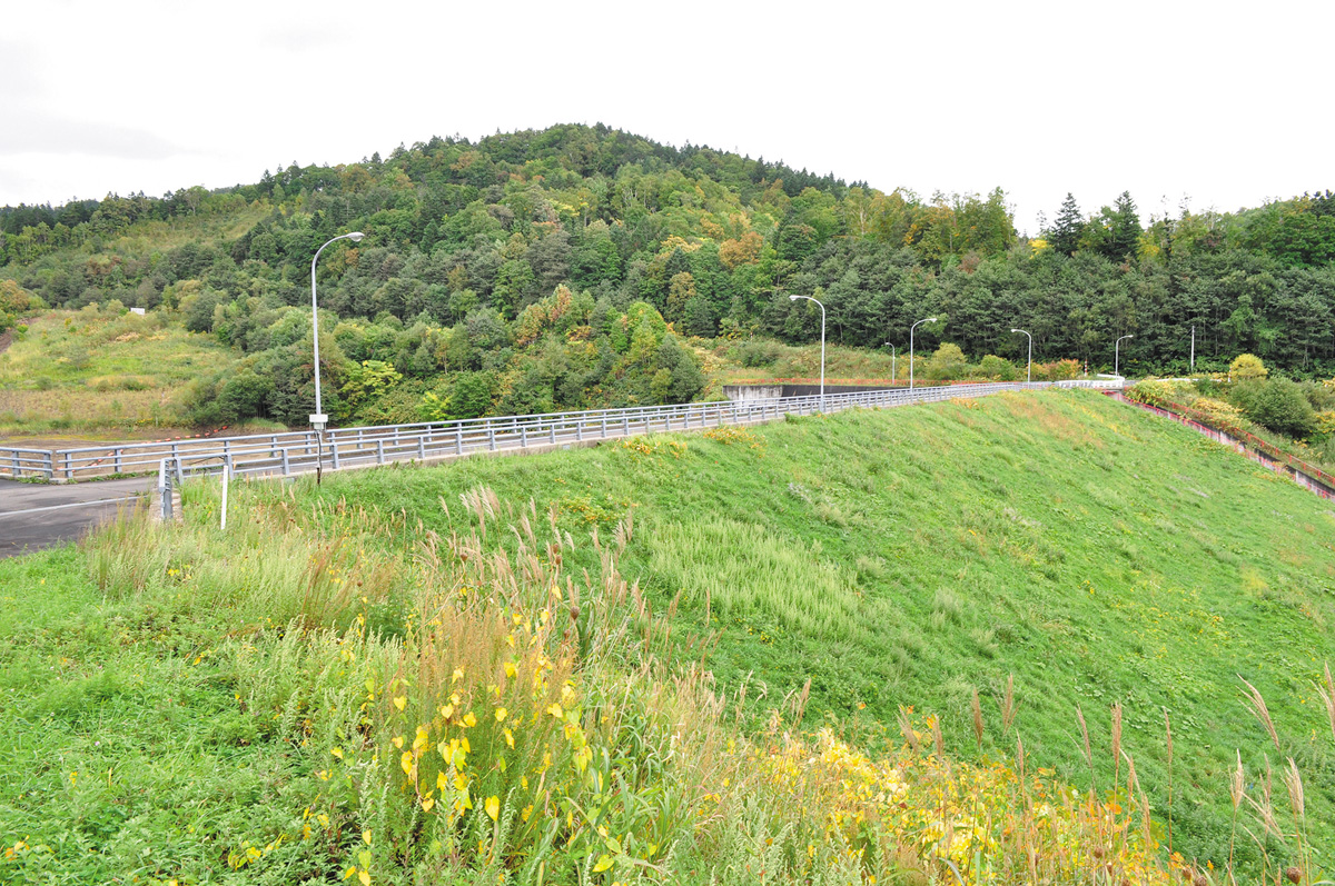
⑧Nakahoro Dam(Rumoi)
This dam is located on Hokkaido Route 550, which runs inland from Horonuka to Obira. This is the first dam built in Hokkaido which utilizes an impermeable wall to divert the water. This dam has been key to the prevention of farmland flooding.
Address / Okuhoronuka, Horonukacho, Rumoi
Type / Earth (Zone type)
River / Nakahoronuka River
Reservoir / –
Year of Completion / 1990
Intended Use / Flood control, Farmland disaster prevention
Dam Height / 25.8m
Crest Length / 123.0m
Construction / Hokkaido Prefecture
Management / Rumoi
⑨Rumoi Dam(Rumoi)
In 1988, Rumoi city and the surrounding river basin area suffered serious damage due to the heavy rains and consequential overflowing of the Rumoi River. Plans to install flood preventative measures were drawn up and the Rumoi Dam was completed on the tributary Chibaberi River in 2009. Flood control, water works facilities and water level maintenance are the three purposes this dam fulfills. This is the only rock-fill type dam in Rumoi sub-prefecture.
*The free PR cards which the bureau of dam management
Address / Chibaberi, Rumoimura, Rumoi
Type / Rock-fill
River / Chibaberi River
Reservoir / Chibaberi Lake
Year of Completion / 2009
Intended Use / Flood control, Water supply, Water flow Management
Dam Height / 41.2m
Crest Length / 440.0m
Management / Hokkaido Development Bureau
Dam terminology
Rock-fill
This is a type of fill-dam where the dam is built of tightly packed rocks.
Concrete gravity
This type of dam is made of concrete. It is the most common type of dam.
Crest
The crest is the top of the dam. Here the overflow-type gate is referred to as a “crest gate”.
Earth
An earth dam is a type of fill-dam and is made of compacted dirt and soil. A zonal model earth dam is built with an impermeable wall within the dam.
Dam Height
The height is measured from the dam base to top of the main structure.
Crest Length
The length or width of the crest on a dam.